Sierra Del Barón Rojo
The epics of my Beechcraft Sierra.Friday, June 02, 2006
Warnervale Sydney Canberra - 28 May 06
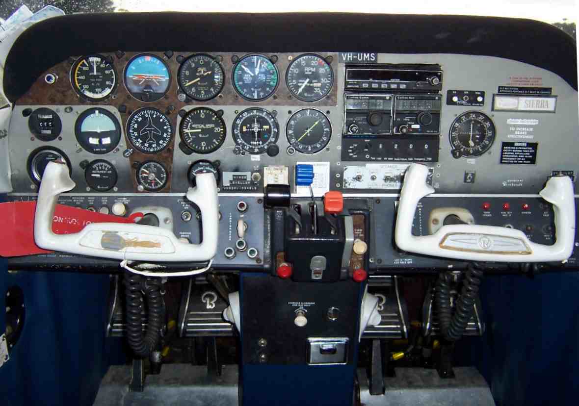 UMS panel
The weather the next day saw BKN to full cloud cover in the Warnervale region, where it nearly always rains when a southerly change hits.
I own two bouyancy vests and fitted one before leaving Warnervale because I had planned to fly out at 2000' and then head down the coast on decent to Victor 1 at 500'.
I reached Long Reef at 500' AMSL and made my Victor 1 call. By the time I had reached North Head my radio calls had provided me with a response - I had company.
So from here on the reporting saw that the accompanying aircraft was in front of me by 10 to 15 nautical miles. I slowed down to 108 Kts so I could point my mounted video camera at the scenery while all the while I was looking out to see if I could find the aircraft.
I caught up with WWM when I approached the start of Port Hacking. A Cessna 150 looks small when you are 5 nautical miles behind it!
Catching up to WWM
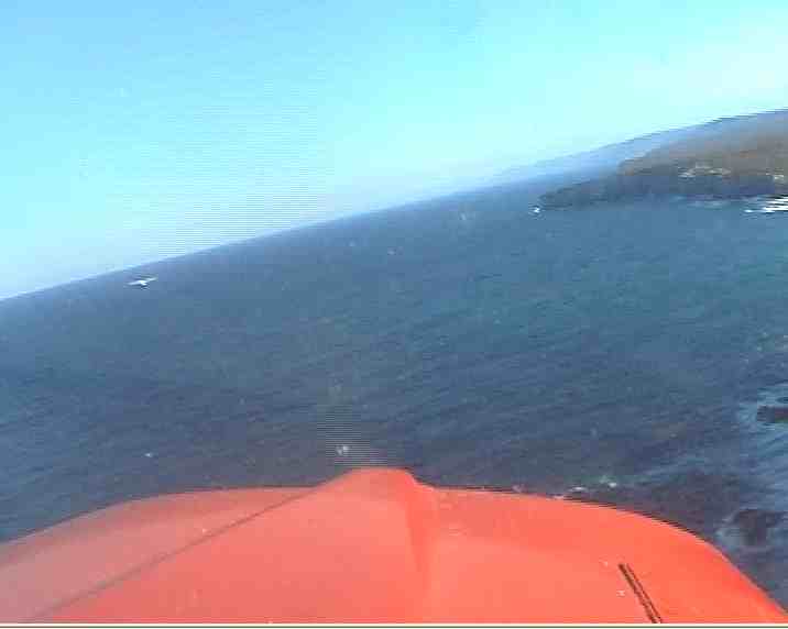 WWM a C150 near Port Hacking
I saw WWM turn in and head across the skyline near Sutherland Cronulla, and I was catching up with it fast. By the time we got to Jibbon Point I announced that I would have to overtake on the right very soon, to which WWM wiggled its wings and headed left a little.
 Turning back out from Cronulla
I decided to increase pitch and manifold pressure to work UMS up to 120 Knots. I overtook WWM and then climbed up to 1000' to the bottom of the radar step.
Further along I climbed to 2000' near Stanwell park while keeping my eyes on the hang-gliders launching from the cliff, and then a gradual cruise climb at 300 fpm underneath all the radar steps heading towards Mittagong, and from there up to 8500' for the trip back to Canberra.
The flight data can be found at
Wagga Warnervale Victor 1 Google Earth track and my local airport markers at Airports for Google Earth.
Archives
April 2006 May 2006 June 2006 July 2006 June 2009
![]()
Subscribe to Comments [Atom]